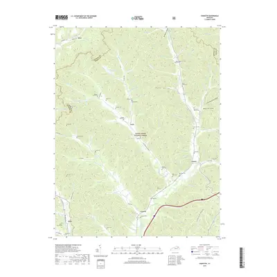
2019 Map of Cranston
USGS Topo · Published 2019About this map
Daniel Boone National Forest dominates this landscape in northeastern Kentucky, where steep ridgelines and deep hollows like Poplar Hollow dictate the pattern of settlement and transport. Small rural communities such as Cranston, Waltz, and Triplett are situated along the valley floors, particularly near the winding path of North Fork Triplett Creek. The terrain is characterized by a dense network of branches and forks, including Clear Fork and Cincinnati Br, which carve out the narrow flats where local roads and residences are concentrated.
Find a feature on this map
120 named features on this map. Tap any name to fly to it.
Don’t see what you’re looking for? This feature index may not catch every label — zoom into the map to look around manually.
Map Details
Editions of this 2019 Cranston Map
This is the sole edition of this map. No revisions or reprints were ever made.
Other maps of this area

1929 · Morehead
USGS Topo · 1:48,000

1929 · Salt Lick
USGS Topo · 1:62,500

1934 · Salt Lick
USGS Topo · 1:62,500

1935 · Morehead
USGS Topo · 1:62,500

1950 · Head Of Grassy
USGS Topo · 1:24,000

1951 · Soldier
USGS Topo · 1:24,000

1951 · Cranston
USGS Topo · 1:24,000

1951 · Stricklett
USGS Topo · 1:24,000

1951 · Plummers Landing
USGS Topo · 1:24,000

1951 · Burtonville
USGS Topo · 1:24,000