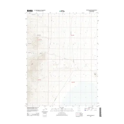
2014 Map of Crater Island NW
USGS Topo · Published 2014About this map
The Pilot Range dominates this portion of Box Elder County, where the desert terrain meets the edge of the Great Salt Lake Basin. Water sources are scarce but critical in this arid landscape, evidenced by the presence of Tunnel Spring Number 1, McLaughlin Spring, and Patterson Pass Spring. These springs are often the primary landmarks for navigation through the canyons and ridges of the high ground. The western edge of the map follows the dramatic rise of McGinty Ridge and the descent into McGinty Canyon and Birch Canyon. To the east, the elevation drops sharply toward the flat basin floor, where the isolated landform of Lemay Island rises from the surrounding salt flats. A rudimentary network of roads, including Pilot Mountain Rd and Patterson Pass Rd, provides the only access through this desolate region, primarily following the contours between the mountain range and the basin.
Find a feature on this map
16 named features on this map. Tap any name to fly to it.
Don’t see what you’re looking for? This feature index may not catch every label — zoom into the map to look around manually.
Map Details
Editions of this 2014 Crater Island NW Map
This is the sole edition of this map. No revisions or reprints were ever made.
Other maps of this area

1954 · Brigham City
USGS Topo · 1:250,000

1955 · Wells
USGS Topo · 1:250,000

1958 · Wells
USGS Topo · 1:250,000

1958 · Brigham City
USGS Topo · 1:250,000

1961 · Wells
USGS Topo · 1:250,000

1962 · Brigham City
USGS Topo · 1:250,000

1967 · Pilot Peak
USGS Topo · 1:24,000

1967 · Pigeon Mountain
USGS Topo · 1:24,000

1967 · Lucin
USGS Topo · 1:24,000

1967 · Patterson Pass
USGS Topo · 1:24,000