
1967 Map of Pigeon Mountain
USGS Topo · Published 1971About this map
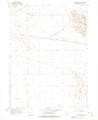
The Southern Pacific (Lucin Cutoff) railway bisects this high desert landscape, a critical engineering feat in Box Elder County. During this late 1960s survey, the area is defined by its transit history and industrial activity, featuring the Lucin Airfield and a nearby Radio Facility north of the tracks. The terrain is anchored by the prominent Pigeon Mountain and the Little Pigeon Mountains to the south, which overlook a series of extraction sites including the Lucin Pit and various gravel operations.
Find a feature on this map
10 named features on this map. Tap any name to fly to it.
Don’t see what you’re looking for? This feature index may not catch every label — zoom into the map to look around manually.
Map Details
Editions of this 1967 Pigeon Mountain Map
2 editions found
Other maps of this area

1954 · Brigham City
USGS Topo · 1:250,000

1958 · Brigham City
USGS Topo · 1:250,000

1962 · Brigham City
USGS Topo · 1:250,000

1967 · Lucin
USGS Topo · 1:24,000

1967 · Lucin NW
USGS Topo · 1:24,000

1967 · Lucin NE
USGS Topo · 1:24,000

1967 · Lemay Island
USGS Topo · 1:24,000
1967 · Crater Island NW
USGS Topo · 1:24,000

1983 · Jackson
USGS Topo · 1:24,000
1983 · Bovine
USGS Topo · 1:24,000