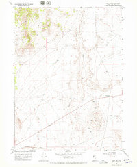
1967 Map of Lucin NW
USGS Topo · Published 1971About this map
The Southern Pacific railroad runs across the southern margin of this high desert terrain in Box Elder County, marking a vital transportation artery through an otherwise sparse landscape. Much of the activity on this 1960s survey is centered around resource extraction and historic routes, with numerous Prospects, a Mine, and several Gravel Pits scattered near the watercourse of Grouse Creek. These features indicate the persistent search for minerals in this arid region of Utah.
Find a feature on this map
10 named features on this map. Tap any name to fly to it.
Don’t see what you’re looking for? This feature index may not catch every label — zoom into the map to look around manually.
Map Details
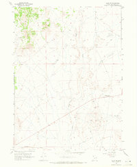
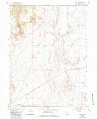
Editions of this 1967 Lucin NW Map
3 editions found
Other maps of this area

1954 · Brigham City
USGS Topo · 1:250,000

1955 · Wells
USGS Topo · 1:250,000

1958 · Wells
USGS Topo · 1:250,000

1958 · Brigham City
USGS Topo · 1:250,000

1961 · Wells
USGS Topo · 1:250,000

1961 · Dairy Valley
USGS Topo · 1:62,500

1962 · Brigham City
USGS Topo · 1:250,000

1967 · Jackson Spring
USGS Topo · 1:24,000

1967 · Pigeon Mountain
USGS Topo · 1:24,000

1967 · Lucin
USGS Topo · 1:24,000