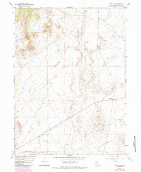
1967 Map of Lucin NW
USGS Topo · Published 1984About this map
Grouse Creek defines the central axis of this high-desert landscape in Box Elder County, where the desert floor meets the rising foothills. The southern edge of the quadrangle is anchored by the Southern Pacific railroad corridor, a vital transcontinental link that facilitated industrial activity in this arid region during the late 20th century. Evidence of local extraction is scattered across the terrain, including a notable Mine and various Gravel Pits located near the Grouse Creek Junction.
Find a feature on this map
9 named features on this map. Tap any name to fly to it.
Don’t see what you’re looking for? This feature index may not catch every label — zoom into the map to look around manually.
Map Details
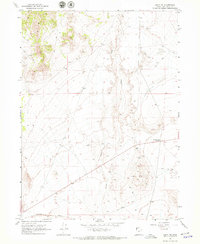
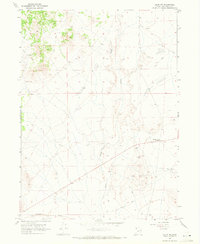
Editions of this 1967 Lucin NW Map
3 editions found
Other maps of this area

1954 · Brigham City
USGS Topo · 1:250,000

1955 · Wells
USGS Topo · 1:250,000

1958 · Wells
USGS Topo · 1:250,000

1958 · Brigham City
USGS Topo · 1:250,000

1961 · Wells
USGS Topo · 1:250,000

1961 · Dairy Valley
USGS Topo · 1:62,500

1962 · Brigham City
USGS Topo · 1:250,000

1967 · Jackson Spring
USGS Topo · 1:24,000

1967 · Pigeon Mountain
USGS Topo · 1:24,000

1967 · Lucin
USGS Topo · 1:24,000