
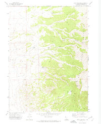
1967 Map of Lucin NE
USGS Topo · Published 1971About this map
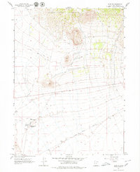
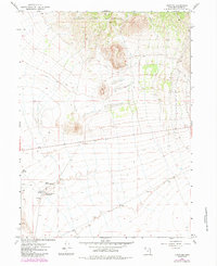
Old Emigrant Trail cuts a diagonal path through this arid basin, a testament to the overland migration routes that once traversed the high desert of Box Elder County. The terrain is dominated by the southern reaches of the Grouse Creek Mountains, where steep contours descend toward the flatlands. To the south, the Central Pacific Old Grade traces the historic path of the transcontinental railroad, marking the technological shift from wagon trains to steam power. Water remains the critical factor for survival and settlement here, evidenced by clusters of springs such as Owl Spring, Rabbit Spring, and East Rabbit Spring. The presence of the Rabbit Spring Reservoir and scattered industrial markers like a Gravel Pit and Borrow Pit reflect the mid-century land use in this sparsely populated region of northwestern Utah.
Find a feature on this map
9 named features on this map. Tap any name to fly to it.
Don’t see what you’re looking for? This feature index may not catch every label — zoom into the map to look around manually.
Map Details
Editions of this 1967 Lucin NE Map
3 editions found
Other maps of this area

1954 · Brigham City
USGS Topo · 1:250,000

1958 · Brigham City
USGS Topo · 1:250,000

1962 · Brigham City
USGS Topo · 1:250,000

1967 · Pigeon Mountain
USGS Topo · 1:24,000

1967 · Lucin
USGS Topo · 1:24,000
1967 · Lucin NW
USGS Topo · 1:24,000

1971 · Emigrant Pass
USGS Topo · 1:24,000
1971 · Toms Cabin Spring
USGS Topo · 1:24,000
1971 · Rocky Pass Peak
USGS Topo · 1:24,000

1983 · Jackson
USGS Topo · 1:24,000