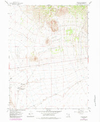
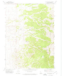
1967 Map of Lucin NE
USGS Topo · Published 1984About this map
Grouse Creek Mountains dominate the northern landscape of this Box Elder County survey, providing a backdrop for the high-desert terrain of northwestern Utah. This 1967 field study, later updated in 1984, documents the critical water sources that supported livestock and desert travel in an arid environment. Springs are clustered in the southwest, including the Rabbit Spring Reservoir, Rabbit Spring, and East Rabbit Spring, alongside Owl Spring. These water points were essential waypoints along the sparse Jeep Trail network that crisscrosses the flats. The presence of a Gravel Pit and Borrow Pit indicates localized infrastructure development or road maintenance in this sparsely populated section of the Great Basin during the mid-to-late 20th century.
Find a feature on this map
8 named features on this map. Tap any name to fly to it.
Don’t see what you’re looking for? This feature index may not catch every label — zoom into the map to look around manually.
Map Details
Editions of this 1967 Lucin NE Map
3 editions found
Other maps of this area

1954 · Brigham City
USGS Topo · 1:250,000

1958 · Brigham City
USGS Topo · 1:250,000

1962 · Brigham City
USGS Topo · 1:250,000

1967 · Pigeon Mountain
USGS Topo · 1:24,000

1967 · Lucin
USGS Topo · 1:24,000
1967 · Lucin NW
USGS Topo · 1:24,000

1967 · Lucin NE
USGS Topo · 1:24,000

1971 · Emigrant Pass
USGS Topo · 1:24,000
1971 · Toms Cabin Spring
USGS Topo · 1:24,000
1971 · Rocky Pass Peak
USGS Topo · 1:24,000