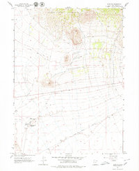
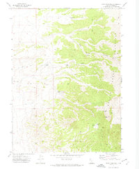
1967 Map of Lucin NE
USGS Topo · Published 1979About this map
The Old Central Pacific Grade cuts across the southern portion of this landscape, marking the historic path of the first transcontinental railroad through western Utah. This transportation corridor is joined by the Old Emigrant Trail, which winds through the central terrain as it moves toward the Nevada border. These historic routes underscore the area's importance as a passage for westward expansion and commerce during the late 19th century. To the north, the foothills of the Grouse Creek Mountains dominate the topography, providing a stark contrast to the flatter desert floor below. Scattered water sources, essential for survival in this arid environment, are identified by labels such as Owl Spring, Rabbit Spring, and East Rabbit Spring. The presence of a Rabbit Spring Reservoir and a Gravel Pit indicates early attempts to manage local resources for transit and maintenance in this remote corner of Box Elder County.
Find a feature on this map
10 named features on this map. Tap any name to fly to it.
Don’t see what you’re looking for? This feature index may not catch every label — zoom into the map to look around manually.
Map Details
Editions of this 1967 Lucin NE Map
3 editions found
Other maps of this area

1954 · Brigham City
USGS Topo · 1:250,000

1958 · Brigham City
USGS Topo · 1:250,000

1962 · Brigham City
USGS Topo · 1:250,000

1967 · Pigeon Mountain
USGS Topo · 1:24,000

1967 · Lucin
USGS Topo · 1:24,000
1967 · Lucin NW
USGS Topo · 1:24,000

1967 · Lucin NE
USGS Topo · 1:24,000

1971 · Emigrant Pass
USGS Topo · 1:24,000
1971 · Toms Cabin Spring
USGS Topo · 1:24,000
1971 · Rocky Pass Peak
USGS Topo · 1:24,000