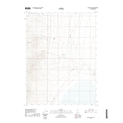
2020 Map of Crater Island NW
USGS Topo · Published 2020About this map
The Pilot Range dominates this corner of Box Elder County, where the high ridgelines of McGinty Ridge descend into the desert basin. A series of critical water sources for local livestock and travelers are documented here, including Tunnel Spring Number 1, Tunnel Spring Number 2, and the higher-altitude McLaughlin Spring. These springs, connected by primitive routes like Tunnel Springs Rd, highlight the necessity of reliable water in this arid environment.
Find a feature on this map
14 named features on this map. Tap any name to fly to it.
Don’t see what you’re looking for? This feature index may not catch every label — zoom into the map to look around manually.
Map Details
Editions of this 2020 Crater Island NW Map
This is the sole edition of this map. No revisions or reprints were ever made.
Other maps of this area

1954 · Brigham City
USGS Topo · 1:250,000

1955 · Wells
USGS Topo · 1:250,000

1958 · Wells
USGS Topo · 1:250,000

1958 · Brigham City
USGS Topo · 1:250,000

1961 · Wells
USGS Topo · 1:250,000

1962 · Brigham City
USGS Topo · 1:250,000

1967 · Pilot Peak
USGS Topo · 1:24,000

1967 · Pigeon Mountain
USGS Topo · 1:24,000

1967 · Lucin
USGS Topo · 1:24,000

1967 · Patterson Pass
USGS Topo · 1:24,000