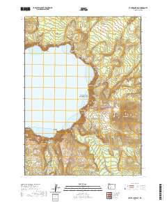
2020 Map of Crater Lake East
USGS Topo · Published 2020About this map
Crater Lake and its dramatic eastern rim define this topographic survey, showcasing the geological formations that crown the caldera. Along the shoreline, the iconic rock formation Phantom Ship rises from Danger Bay, while the high peaks of Mt Scott and Applegate Peak overlook the deep waters. The network of modern access points is well-documented, including the Cleetwood Cove Trail leading to the water and the winding route of Rim Dr.
Find a feature on this map
73 named features on this map. Tap any name to fly to it.
Don’t see what you’re looking for? This feature index may not catch every label — zoom into the map to look around manually.
Map Details
Editions of this 2020 Crater Lake East Map
This is the sole edition of this map. No revisions or reprints were ever made.
Other maps of this area

1889 · Klamath
USGS Topo · 1:250,000

1891 · Ashland
USGS Topo · 1:250,000

1893 · Ashland
USGS Topo · 1:250,000

1894 · Klamath
USGS Topo · 1:250,000

1897 · Ashland
USGS Topo · 1:250,000

1917 · Diamond Lake
USGS Topo · 1:125,000

1935 · Chemult
USGS Topo · 1:96,000

1941 · Chemult
USGS Topo · 1:125,000

1955 · Crescent
USGS Topo · 1:250,000

1955 · Klamath Falls
USGS Topo · 1:250,000