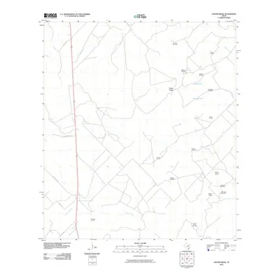
2010 Map of Crater Ridge
USGS Topo · Published 2010About this map
The energy-rich ranchlands of Live Oak County are characterized by a network of private roads and petroleum infrastructure in the early 21st century. The landscape is defined by its working nature, where significant energy sites such as the Hall Ranch Oil Field and the Burnett Oil and Gas Field sit alongside vital water sources in an arid climate. Features like Jacobs Tank and Huisache Tank provide essential hydration points for livestock and industry alike.
Find a feature on this map
27 named features on this map. Tap any name to fly to it.
Don’t see what you’re looking for? This feature index may not catch every label — zoom into the map to look around manually.
Map Details
Editions of this 2010 Crater Ridge Map
This is the sole edition of this map. No revisions or reprints were ever made.
Other maps of this area

1920 · Mikeska
USGS Topo · 1:125,000

1925 · Oakville No. 4
USGS Topo · 1:48,000

1925 · Mathis No. 2
USGS Topo · 1:48,000

1925 · Mathis No. 3
USGS Topo · 1:48,000

1927 · Mathis
USGS Topo · 1:62,500

1927 · Oakville
USGS Topo · 1:62,500

1953 · Crystal City
USGS Topo · 1:250,000

1953 · Beeville
USGS Topo · 1:250,000

1954 · Fleming
USGS Topo · 1:62,500

1954 · Mathis
USGS Topo · 1:62,500