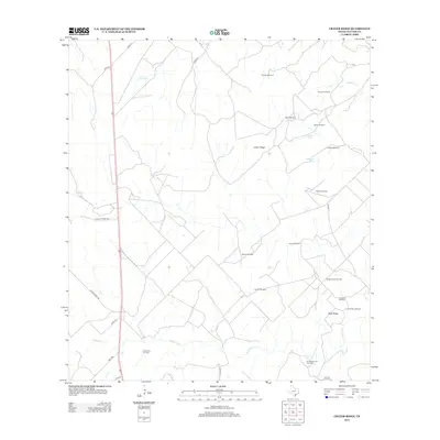
2012 Map of Crater Ridge
USGS Topo · Published 2012About this map
Piasano Oil Field and several other extraction sites define this southern Texas landscape, illustrating the region's deep ties to the energy industry. The topography is dominated by subtle elevations like Crater Ridge and Buck Ridge, which rise above the intermittent drainage systems of Ramirena Cr and Gilden Cr. This 2012 survey shows a sparsely populated area where large ranch holdings are marked by namesake infrastructure and winding roads like Crocker Ranch Rd and Polzin Ranch Rd.
Find a feature on this map
32 named features on this map. Tap any name to fly to it.
Don’t see what you’re looking for? This feature index may not catch every label — zoom into the map to look around manually.
Map Details
Editions of this 2012 Crater Ridge Map
This is the sole edition of this map. No revisions or reprints were ever made.
Other maps of this area

1920 · Mikeska
USGS Topo · 1:125,000

1925 · Oakville No. 4
USGS Topo · 1:48,000

1925 · Mathis No. 2
USGS Topo · 1:48,000

1925 · Mathis No. 3
USGS Topo · 1:48,000

1927 · Mathis
USGS Topo · 1:62,500

1927 · Oakville
USGS Topo · 1:62,500

1953 · Crystal City
USGS Topo · 1:250,000

1953 · Beeville
USGS Topo · 1:250,000

1954 · Fleming
USGS Topo · 1:62,500

1954 · Mathis
USGS Topo · 1:62,500