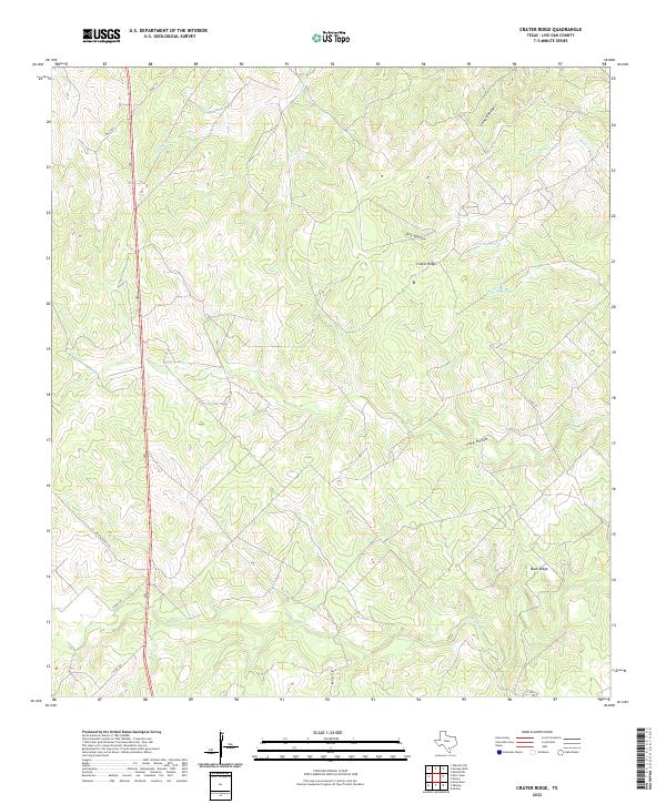
2022 Map of Crater Ridge
USGS Topo · Published 2022About this map
The prominent Crater Ridge rises above a landscape defined by seasonal drainages and local ranching infrastructure in rural Live Oak County. This South Texas terrain is characterized by a series of significant depressions and washes including Hog Hollow, Long Hollow, and Gerhard Hollow, which channel water toward larger systems like Ramirena Cr and Paisano Cr. The arrangement of man-made water sources, such as Jacobs Tank and Huisache Tank, underscores the necessity of water management for livestock in this arid environment.
Find a feature on this map
18 named features on this map. Tap any name to fly to it.
Don’t see what you’re looking for? This feature index may not catch every label — zoom into the map to look around manually.
Map Details
Editions of this 2022 Crater Ridge Map
This is the sole edition of this map. No revisions or reprints were ever made.
Other maps of this area

1920 · Mikeska
USGS Topo · 1:125,000

1925 · Oakville No. 4
USGS Topo · 1:48,000

1925 · Mathis No. 2
USGS Topo · 1:48,000

1925 · Mathis No. 3
USGS Topo · 1:48,000

1927 · Mathis
USGS Topo · 1:62,500

1927 · Oakville
USGS Topo · 1:62,500

1953 · Crystal City
USGS Topo · 1:250,000

1953 · Beeville
USGS Topo · 1:250,000

1954 · Fleming
USGS Topo · 1:62,500

1954 · Mathis
USGS Topo · 1:62,500