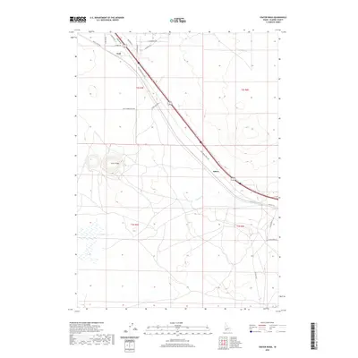
2020 Map of Crater Rings
USGS Topo · Published 2020About this map
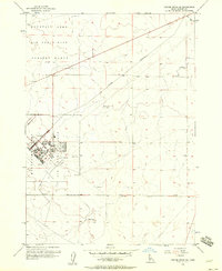
Crater Rings dominate the western landscape of this Elmore County survey, marking a distinct geological formation amidst the high desert terrain. The map documents a critical transportation corridor where the Old Oregon Trail Hwy runs parallel to a major rail line, cutting diagonally across the high plains. Small rail-side settlements like Cleft and Sebree serve as modern markers of this historical transit route.
Find a feature on this map
23 named features on this map. Tap any name to fly to it.
Don’t see what you’re looking for? This feature index may not catch every label — zoom into the map to look around manually.
Map Details
Editions of this 2020 Crater Rings Map
This is the sole edition of this map. No revisions or reprints were ever made.
Other maps of this area

1892 · Mountain Home
USGS Topo · 1:125,000

1893 · Mountain Home
USGS Topo · 1:125,000

1955 · Hailey
USGS Topo · 1:250,000
1956 · Mountain Home South
USGS Topo · 1:24,000
1956 · Cinder Cone Butte
USGS Topo · 1:24,000

1956 · Crater Rings
USGS Topo · 1:24,000

1956 · Mountain Home North
USGS Topo · 1:24,000
1956 · Crater Rings SW
USGS Topo · 1:24,000

1956 · Mountain Home
USGS Topo · 1:62,500
1956 · Crater Rings SE
USGS Topo · 1:24,000