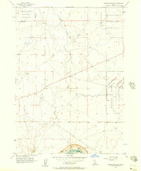
1956 Map of Crater Rings SW
USGS Topo · Published 1957About this map
Mountain Home Air Force Base dominates the eastern boundary of this mid-1950s high desert landscape, showcasing the military infrastructure of the Cold War era. This airfield and the adjacent Gunnery Range sit north of the Elmore and Owyhee County line, where the terrain drops toward the C J Strike Res. The map documents a strictly functional environment of early aviation and tactical training, including the extensive National Guard Maneuver and Firing Area in the northwest corner near the Ada and Elmore County border. Sparse desert life is focused around isolated water sources like Squaw Creek, Canyon Creek, and several named Springs. Evidence of local industry and utilities are found in the scattered Gravel Pit sites and a prominent north-south Pipeline that traverses the high plateau.
Find a feature on this map
20 named features on this map. Tap any name to fly to it.
Don’t see what you’re looking for? This feature index may not catch every label — zoom into the map to look around manually.
Map Details
Editions of this 1956 Crater Rings SW Map
3 editions found
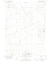
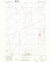
Other maps of this area

1892 · Mountain Home
USGS Topo · 1:125,000

1892 · Bisuka
USGS Topo · 1:125,000

1893 · Mountain Home
USGS Topo · 1:125,000

1894 · Bisuka
USGS Topo · 1:125,000

1946 · Mouth of Bruneau
USGS Topo · 1:24,000

1947 · Grand View
USGS Topo · 1:62,500

1947 · Bruneau
USGS Topo · 1:62,500

1947 · Grand View
USGS Topo · 1:24,000

1947 · Bruneau
USGS Topo · 1:24,000

1947 · Dorsey Butte
USGS Topo · 1:24,000