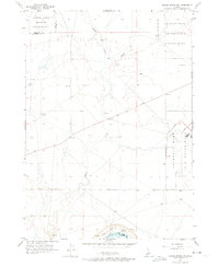
1956 Map of Crater Rings SW
USGS Topo · Published 1974About this map
Military operations dominate the high desert landscape between Ada and Elmore Counties during the mid-1950s. The sprawling Mountain Home Air Force Base occupies the eastern portion of this sheet, including a dedicated Gunnery Range and residential infrastructure along Cedar St and B Street. To the northwest, the National Guard Maneuver and Firing Area emphasizes the region's importance for cold-war era defense training.
Find a feature on this map
15 named features on this map. Tap any name to fly to it.
Don’t see what you’re looking for? This feature index may not catch every label — zoom into the map to look around manually.
Map Details
Editions of this 1956 Crater Rings SW Map
3 editions found
Other maps of this area

1892 · Mountain Home
USGS Topo · 1:125,000

1892 · Bisuka
USGS Topo · 1:125,000

1893 · Mountain Home
USGS Topo · 1:125,000

1894 · Bisuka
USGS Topo · 1:125,000

1946 · Mouth of Bruneau
USGS Topo · 1:24,000

1947 · Grand View
USGS Topo · 1:62,500

1947 · Bruneau
USGS Topo · 1:62,500

1947 · Grand View
USGS Topo · 1:24,000

1947 · Bruneau
USGS Topo · 1:24,000

1947 · Dorsey Butte
USGS Topo · 1:24,000