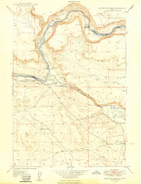
1956 Map of Crater Rings SE
USGS Topo · Published 1958About this map
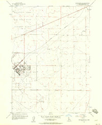
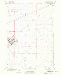
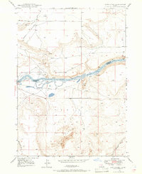
Mountain Home Air Force Base dominates the western half of this 1956 Idaho survey, reflecting the Cold War era of military expansion in the high desert. The base layout is shown in significant detail, featuring a dedicated street grid including Main Ave and Cedar Ave, alongside specialized facilities like a Golf Course, Radio Beacons, and a Tank. To the north, the Mountain Home Air Force Base Gunnery Range extends across the landscape, connected to logistical networks by the Military Railroad. Evidence of the region's agricultural and industrial infrastructure is visible through the Old Lamberton Canal in the northeast and a long Pipeline cutting through the southern sections. This map documents a specialized military landscape where desert topography meets the rigid organization of mid-century aerial defense.
Find a feature on this map
16 named features on this map. Tap any name to fly to it.
Don’t see what you’re looking for? This feature index may not catch every label — zoom into the map to look around manually.
Map Details
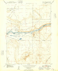
Editions of this 1956 Crater Rings SE Map
3 editions found

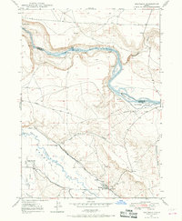
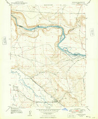
Other maps of this area

1892 · Mountain Home
USGS Topo · 1:125,000

1893 · Mountain Home
USGS Topo · 1:125,000
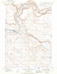
1946 · Mouth of Bruneau
USGS Topo · 1:24,000
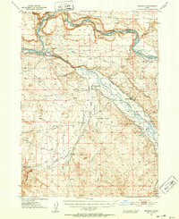
1947 · Bruneau
USGS Topo · 1:62,500
1947 · Sand Dunes
USGS Topo · 1:24,000
1947 · Bruneau
USGS Topo · 1:24,000
1948 · Sand Dunes
USGS Topo · 1:24,000
1948 · Bruneau
USGS Topo · 1:24,000
1948 · Indian Cove
USGS Topo · 1:62,500
1949 · Mouth of Bruneau
USGS Topo · 1:24,000