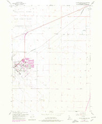
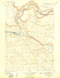
1956 Map of Crater Rings SE
USGS Topo · Published 1978About this map
Mountain Home Air Force Base dominates the western portion of this mid-century survey, revealing the intricate layout of the installation during the Cold War era. The base infrastructure includes a dedicated Golf Course, a complex network of internal streets like Main and 6th St, and significant specialized facilities such as Radio Beacons. A distinctive industrial element is the U. S. Government Railroad, which angles across the high desert terrain to service the base and its adjacent Gunnery Range.
Find a feature on this map
17 named features on this map. Tap any name to fly to it.
Don’t see what you’re looking for? This feature index may not catch every label — zoom into the map to look around manually.
Map Details
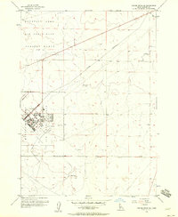
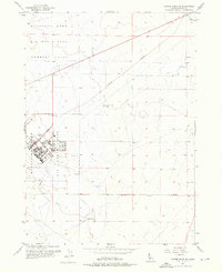
Editions of this 1956 Crater Rings SE Map
3 editions found
Other maps of this area

1892 · Mountain Home
USGS Topo · 1:125,000

1893 · Mountain Home
USGS Topo · 1:125,000

1946 · Mouth of Bruneau
USGS Topo · 1:24,000

1947 · Bruneau
USGS Topo · 1:62,500

1947 · Sand Dunes
USGS Topo · 1:24,000

1947 · Bruneau
USGS Topo · 1:24,000

1948 · Sand Dunes
USGS Topo · 1:24,000
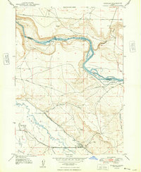
1948 · Bruneau
USGS Topo · 1:24,000

1948 · Indian Cove
USGS Topo · 1:62,500
1949 · Mouth of Bruneau
USGS Topo · 1:24,000