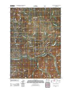
2011 Map of Crawfish Lake
USGS Topo · Published 2011About this map
Cabell City and the surrounding high-altitude terrain define this 2011 survey, where the legacy of early mining and drainage patterns is still clearly visible. The landscape is marked by numerous historic extractive sites, including the Continental Mine, Standard Mine, and the Labellevue Mine located near Bubbling Spring. These sites, along with French Diggings, indicate a region deeply shaped by prospectors and the pursuit of mineral wealth.
Find a feature on this map
32 named features on this map. Tap any name to fly to it.
Don’t see what you’re looking for? This feature index may not catch every label — zoom into the map to look around manually.
Map Details
Editions of this 2011 Crawfish Lake Map
This is the sole edition of this map. No revisions or reprints were ever made.
Other maps of this area

1901 · Sumpter
USGS Topo · 1:125,000

1953 · Pendleton
USGS Topo · 1:250,000

1955 · Canyon City
USGS Topo · 1:250,000

1956 · Pendleton
USGS Topo · 1:250,000

1959 · Canyon City
USGS Topo · 1:250,000

1965 · Limber Jim Creek
USGS Topo · 1:24,000

1965 · Anthony Butte
USGS Topo · 1:24,000

1965 · Fly Valley
USGS Topo · 1:24,000

1972 · Trout Meadows
USGS Topo · 1:24,000

1972 · Mt. Ireland
USGS Topo · 1:24,000