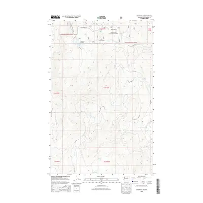
2014 Map of Crawfish Lake
USGS Topo · Published 2014About this map
Crawfish Lake sits at the heart of this high-elevation landscape, where the boundary of the Okanogan National Forest meets the northern reaches of the Colville Indian Reservation. The terrain is defined by a network of seasonal drainages and meadows, including Barnell Meadow and Lost Creek Meadow, which hint at the traditional grazing and land-use patterns of the region. Access to the interior is provided by forest service routes like Nat For Dev Rd 30 and Thompson Rd, as well as tribal reservation roads such as BIA 1014 Rd. The proximity of the Crawfish Lake Campground to Balanced Rock Spring suggests this area has long served as a focal point for recreation and resource management within the mountainous Okanogan backcountry.
Find a feature on this map
24 named features on this map. Tap any name to fly to it.
Don’t see what you’re looking for? This feature index may not catch every label — zoom into the map to look around manually.
Map Details
Editions of this 2014 Crawfish Lake Map
This is the sole edition of this map. No revisions or reprints were ever made.
Other maps of this area

1902 · Osoyoos
USGS Topo · 1:125,000

1904 · Osoyoos
USGS Topo · 1:125,000

1952 · Disautel
USGS Topo · 1:62,500

1953 · Omak Lake
USGS Topo · 1:62,500

1954 · Okanogan
USGS Topo · 1:250,000

1957 · Tonasket
USGS Topo · 1:62,500

1957 · Aeneas Valley
USGS Topo · 1:62,500

1958 · Okanogan
USGS Topo · 1:250,000
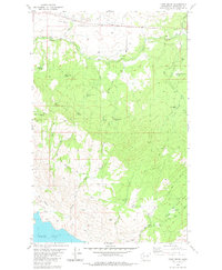
1980 · Camp Seven
USGS Topo · 1:24,000
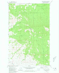
1980 · Omak Mountain
USGS Topo · 1:24,000