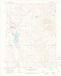
1965 Map of Crawford
USGS Topo · Published 1968About this map
Crawford serves as the focal point for this mid-1960s survey of the North Fork Valley, where the town sits at the intersection of agriculture and expanding water management. The irrigation network is highly developed, featuring infrastructure like the Aspen Ditch, Clipper Ditch, and the extensive Gould Canal which supports the livestock and orchards of Fruitland Mesa. A prominent landmark, the Crawford Dam and its reservoir, highlights the era's focus on reclamation and public recreation, flanked by the Crawford Recreation Area. To the east, the landscape transitions into the high country of the Gunnison National Forest, dominated by the massive profile of Saddle Mountain. Notable smaller settlements like Maher and landmarks such as the volcanic spire of Needle Rock provide important navigational and historical markers for the region.
Find a feature on this map
37 named features on this map. Tap any name to fly to it.
Don’t see what you’re looking for? This feature index may not catch every label — zoom into the map to look around manually.
Map Details
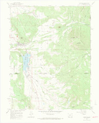
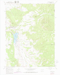
Editions of this 1965 Crawford Map
3 editions found
Other maps of this area

1938 · Mt. Gunnison
USGS Topo · 1:48,000

1945 · Mount Gunnison
USGS Topo · 1:62,500

1956 · Montrose
USGS Topo · 1:250,000

1957 · Cathedral Peak
USGS Topo · 1:24,000

1957 · X Lazy F Ranch
USGS Topo · 1:24,000

1957 · Grizzly Ridge
USGS Topo · 1:24,000

1959 · Montrose
USGS Topo · 1:250,000

1960 · Montrose
USGS Topo · 1:250,000

1964 · Minnesota Pass
USGS Topo · 1:24,000

1965 · Mount Guero
USGS Topo · 1:24,000