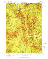
1946 Map of Crawford Notch
USGS Topo · Published 1955About this map
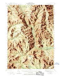
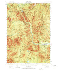
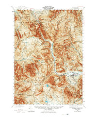
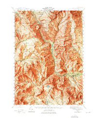
Crawford Notch State Reservation anchors this high-elevation study of the White Mountains, centered on the steep pass where the Maine Central RR and the Saco River descend toward Bartlett. The landscape is a network of named trails and remote shelters, including the Mispah Spr Shelter and Zealand Falls Hut, reflecting the area's established role in mountain tourism and recreation. Historic waypoints like the Crawford House and the Willey House PO mark the long-standing transit corridor through the notch. Beyond the primary pass, the map documents the quiet logging and milling history of the interior at Livermore and the early 20th-century development at Notchland. The drainage patterns are meticulously detailed, showing the source of the North Branch Pemigewasset River at Stillwater and the dramatic drop of Nancy Cascades.
Find a feature on this map
183 named features on this map. Tap any name to fly to it.
Don’t see what you’re looking for? This feature index may not catch every label — zoom into the map to look around manually.
Map Details
Editions of this 1946 Crawford Notch Map
9 editions found

Other maps of this area

1893 · Mt. Washington
USGS Topo · 1:62,500

1893 · Gorham
USGS Topo · 1:62,500

1894 · North Conway
USGS Topo · 1:62,500

1895 · Crawford Notch
USGS Topo · 1:62,500

1896 · Mt. Washington
USGS Topo · 1:62,500

1896 · Crawford Notch
USGS Topo · 1:62,500

1896 · North Conway
USGS Topo · 1:62,500

1896 · Gorham
USGS Topo · 1:62,500

1900 · Whitefield
USGS Topo · 1:62,500

1928 · Plymouth
USGS Topo · 1:62,500