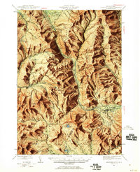
1946 Map of Crawford Notch
USGS Topo · Published 1960About this map
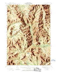
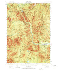
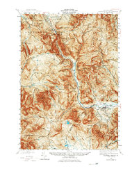
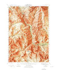
Maine Central Railroad tracks follow the dramatic descent of the Saco River through this 1946 survey, highlighting a corridor of early White Mountain tourism and transportation. The map reveals a landscape defined by its high-altitude architecture, from the established Crawford House and Willey House Camps to the remote Mizpah Spr Shelter and various trailside refuges like Isolation Shelter. These features, along with Willey House Station, illustrate the transition from grand hotel era hospitality to a more rugged hiking culture established by the mid-century.
Find a feature on this map
167 named features on this map. Tap any name to fly to it.
Don’t see what you’re looking for? This feature index may not catch every label — zoom into the map to look around manually.
Map Details
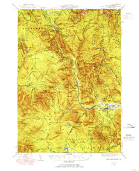
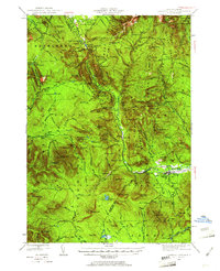
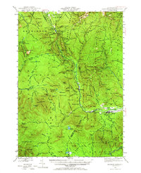
Editions of this 1946 Crawford Notch Map
9 editions found

Other maps of this area

1893 · Mt. Washington
USGS Topo · 1:62,500

1893 · Gorham
USGS Topo · 1:62,500

1894 · North Conway
USGS Topo · 1:62,500

1895 · Crawford Notch
USGS Topo · 1:62,500

1896 · Mt. Washington
USGS Topo · 1:62,500

1896 · Crawford Notch
USGS Topo · 1:62,500

1896 · North Conway
USGS Topo · 1:62,500

1896 · Gorham
USGS Topo · 1:62,500

1900 · Whitefield
USGS Topo · 1:62,500

1928 · Plymouth
USGS Topo · 1:62,500