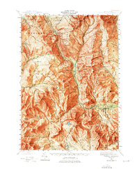
1946 Map of Crawford Notch
USGS Topo · Published 1976About this map
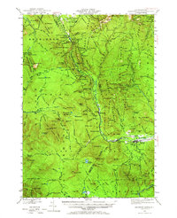
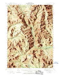
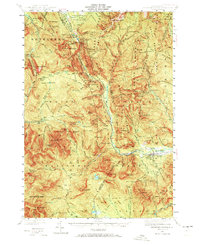
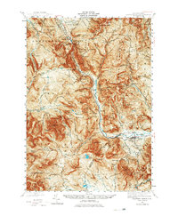
Crawford Notch State Park anchors this 1946 survey, capturing the complex network of footpaths and high-altitude shelters before modern development reshaped much of the White Mountains. The map details a landscape defined by its famous mountain passes and the early infrastructure of mountain tourism, from the Crawford House at the northern gate to the Willey House PO further south. The presence of several shelters, such as Mizpah Spr Shelter and Resolution Shelter, along with historic paths like the Crawford Path and Davis Path, illustrates the era's established hiking culture. Along the Saco River, the small community of Livermore and the whistle-stop at Notchland appear alongside significant natural features like Thoreau Falls and the Nancy Cascades. This document is particularly valuable for tracing the original alignments of trails such as the Signal Ridge Trail and the Tuckerman Ravine Trail within the White Mountain National Forest.
Find a feature on this map
164 named features on this map. Tap any name to fly to it.
Don’t see what you’re looking for? This feature index may not catch every label — zoom into the map to look around manually.
Map Details
Editions of this 1946 Crawford Notch Map
9 editions found

Other maps of this area

1893 · Mt. Washington
USGS Topo · 1:62,500

1893 · Gorham
USGS Topo · 1:62,500

1894 · North Conway
USGS Topo · 1:62,500

1895 · Crawford Notch
USGS Topo · 1:62,500

1896 · Mt. Washington
USGS Topo · 1:62,500

1896 · Crawford Notch
USGS Topo · 1:62,500

1896 · North Conway
USGS Topo · 1:62,500

1896 · Gorham
USGS Topo · 1:62,500

1900 · Whitefield
USGS Topo · 1:62,500

1928 · Plymouth
USGS Topo · 1:62,500