
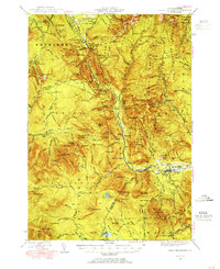
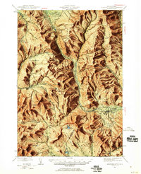
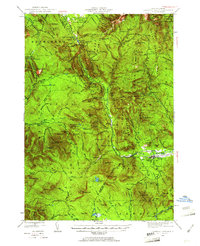
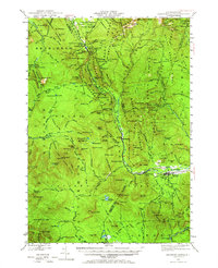
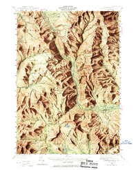
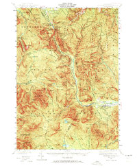
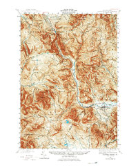
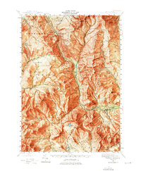
1946 Map of Crawford Notch
USGS Topo · Published 1955About this map
Crawford Notch and its surrounding peaks dominate this mid-century survey, revealing a landscape defined by the Maine Central Railroad and a network of early recreational trails. The valley floor is marked by the Willey House Camps and the Willey House P.O., centering on the historic mountain pass. Further south, the map details the village of Bartlett and the small settlement at Livermore, which served as critical hubs for the region's logging and transport interests.
Find a feature on this map
177 named features on this map. Tap any name to fly to it.
Don’t see what you’re looking for? This feature index may not catch every label — zoom into the map to look around manually.
Map Details
Editions of this 1946 Crawford Notch Map
9 editions found
Other maps of this area

1893 · Mt. Washington
USGS Topo · 1:62,500

1893 · Gorham
USGS Topo · 1:62,500

1894 · North Conway
USGS Topo · 1:62,500

1895 · Crawford Notch
USGS Topo · 1:62,500

1896 · Mt. Washington
USGS Topo · 1:62,500

1896 · Crawford Notch
USGS Topo · 1:62,500

1896 · North Conway
USGS Topo · 1:62,500

1896 · Gorham
USGS Topo · 1:62,500

1900 · Whitefield
USGS Topo · 1:62,500

1928 · Plymouth
USGS Topo · 1:62,500