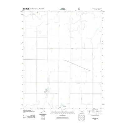
2011 Map of Crawford
USGS Topo · Published 2011About this map
The settlement of Crawford serves as a central point in this part of western Oklahoma, situated amongst a network of drainage systems that feed into the Washita River in the southern portion of the quadrangle. The landscape is defined by the carved paths of Dugout Creek, Bull Creek, and Dead Warrior Creek, illustrating the characteristic erosion patterns of the region. Local infrastructure is highlighted by water management projects including the Upper Washita Site 42 Dam and Upper Washita Site 43 Dam, which have created recreational and conservation landmarks like Spring Creek Lake and the adjacent Spring Creek Campground. To the south, Sunrise Cemetery provides a touchstone for local genealogy, while Twin Hills to the north stands out as a prominent natural landmark in the terrain.
Find a feature on this map
32 named features on this map. Tap any name to fly to it.
Don’t see what you’re looking for? This feature index may not catch every label — zoom into the map to look around manually.
Map Details
Editions of this 2011 Crawford Map
This is the sole edition of this map. No revisions or reprints were ever made.
Other maps of this area

1955 · Clinton
USGS Topo · 1:250,000

1957 · Clinton
USGS Topo · 1:250,000

1960 · Cheyenne
USGS Topo · 1:62,500

1961 · Reydon
USGS Topo · 1:62,500

1965 · Roll NW
USGS Topo · 1:24,000

1965 · Crawford
USGS Topo · 1:24,000

1966 · Roll
USGS Topo · 1:24,000

1966 · Antelope Hills NE
USGS Topo · 1:24,000

1966 · Antelope Hills
USGS Topo · 1:24,000

1966 · Durham
USGS Topo · 1:24,000