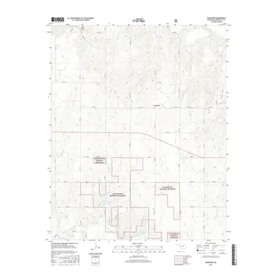
2016 Map of Crawford
USGS Topo · Published 2016About this map
The Black Kettle National Grassland dominates this portion of western Oklahoma, creating a patchwork of protected prairie lands across the landscape. The small community of Crawford sits along a grid of section roads, surrounded by a complex network of drainage systems. The Washita River meanders through the southern portion of the quadrangle, joined by numerous tributaries including Spring Creek, Dead Warrior Creek, and Wildcat Creek.
Find a feature on this map
44 named features on this map. Tap any name to fly to it.
Don’t see what you’re looking for? This feature index may not catch every label — zoom into the map to look around manually.
Map Details
Editions of this 2016 Crawford Map
This is the sole edition of this map. No revisions or reprints were ever made.
Other maps of this area

1955 · Clinton
USGS Topo · 1:250,000

1957 · Clinton
USGS Topo · 1:250,000

1960 · Cheyenne
USGS Topo · 1:62,500

1961 · Reydon
USGS Topo · 1:62,500

1965 · Roll NW
USGS Topo · 1:24,000

1965 · Crawford
USGS Topo · 1:24,000

1966 · Roll
USGS Topo · 1:24,000

1966 · Antelope Hills NE
USGS Topo · 1:24,000

1966 · Antelope Hills
USGS Topo · 1:24,000

1966 · Durham
USGS Topo · 1:24,000