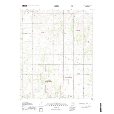
2018 Map of Crawford
USGS Topo · Published 2018About this map
Black Kettle National Grassland dominates the southern half of this landscape, preserving a vast expanse of shortgrass prairie ecosystem in Roger Mills County. The small community of Crawford sits near the center of the sheet, serving as a landmark in a terrain defined by a complex network of drainage creeks including Dugout Cr, Cornell Cr, and Dead Warrior Cr. These waterways generally trend southward toward the Washita River, which cuts across the southwestern corner of the quadrangle. Local genealogy and land-use history are anchored by features such as Sunrise Cem and the prominent Twin Hills. The map details the transition from high plains to the river breaks, with Spring Creek Lake providing a significant water resource within the public grasslands, reflecting the area's ongoing importance for both conservation and traditional ranching.
Find a feature on this map
50 named features on this map. Tap any name to fly to it.
Don’t see what you’re looking for? This feature index may not catch every label — zoom into the map to look around manually.
Map Details
Editions of this 2018 Crawford Map
This is the sole edition of this map. No revisions or reprints were ever made.
Other maps of this area

1955 · Clinton
USGS Topo · 1:250,000

1957 · Clinton
USGS Topo · 1:250,000

1960 · Cheyenne
USGS Topo · 1:62,500

1961 · Reydon
USGS Topo · 1:62,500

1965 · Roll NW
USGS Topo · 1:24,000

1965 · Crawford
USGS Topo · 1:24,000

1966 · Roll
USGS Topo · 1:24,000

1966 · Antelope Hills NE
USGS Topo · 1:24,000

1966 · Antelope Hills
USGS Topo · 1:24,000

1966 · Durham
USGS Topo · 1:24,000