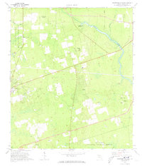
1972 Map of Crawfordville East
USGS Topo · Published 1973About this map
Wakulla River flows through this 1970s landscape, bordering the massive expanse of the Apalachicola National Forest to the west and the St Marks National Wildlife Refuge to the south. The area reflects a rural Florida interior defined by small community nodes such as Shadeville, Ivan, and the fringes of Crawfordville. These settlements are anchored by numerous country churches, including Salem Ch, Ivan Ch, and St Pauls Ch, which serve as vital genealogical markers for the region's heritage.
Find a feature on this map
23 named features on this map. Tap any name to fly to it.
Don’t see what you’re looking for? This feature index may not catch every label — zoom into the map to look around manually.
Map Details
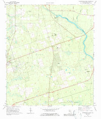
Editions of this 1972 Crawfordville East Map
2 editions found
Other maps of this area

1940 · Tallahassee
USGS Topo · 1:62,500

1940 · Arran
USGS Topo · 1:62,500

1942 · Tallahassee
USGS Topo · 1:62,500

1943 · Arran
USGS Topo · 1:62,500

1943 · Tallahassee
USGS Topo · 1:62,500

1954 · Sprague Island
USGS Topo · 1:24,000

1954 · Woodville
USGS Topo · 1:24,000

1954 · St. Marks
USGS Topo · 1:24,000

1954 · Tallahassee
USGS Topo · 1:250,000

1959 · Tallahassee
USGS Topo · 1:250,000