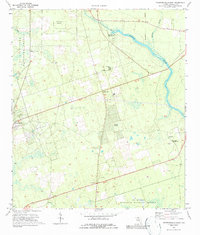
1972 Map of Crawfordville East
USGS Topo · Published 1987About this map
Wakulla Springs anchors the northern portion of this 1970s landscape, where the waters of the Wakulla River flow eastward toward the St Marks National Wildlife Refuge. The map captures a transition between the dense timber of the Apalachicola National Forest and the emerging residential tracts of Wakulla Gardens and Hyde Park. Small rural communities like Shadeville and Ivan are documented through their focal points, notably Salem Ch and Ivan Ch.
Find a feature on this map
28 named features on this map. Tap any name to fly to it.
Don’t see what you’re looking for? This feature index may not catch every label — zoom into the map to look around manually.
Map Details
Editions of this 1972 Crawfordville East Map
2 editions found
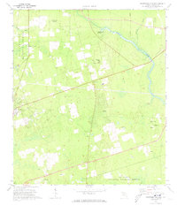
Other maps of this area

1940 · Tallahassee
USGS Topo · 1:62,500

1940 · Arran
USGS Topo · 1:62,500

1942 · Tallahassee
USGS Topo · 1:62,500

1943 · Arran
USGS Topo · 1:62,500

1943 · Tallahassee
USGS Topo · 1:62,500

1954 · Sprague Island
USGS Topo · 1:24,000

1954 · Woodville
USGS Topo · 1:24,000

1954 · St. Marks
USGS Topo · 1:24,000

1954 · Tallahassee
USGS Topo · 1:250,000

1959 · Tallahassee
USGS Topo · 1:250,000