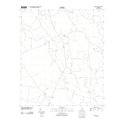
2011 Map of Crawley
USGS Topo · Published 2011About this map
Crawley and Bolen anchor the southern reaches of this Ware County landscape, where the agricultural traditions of south Georgia are evidenced by the Moody Dairy Farm. The terrain is defined by a dendritic network of slow-moving waterways, including Little Hurricane Creek, Hurricane Creek, and the multiple forks of Mill Branch. Genealogists will find a significant concentration of burial grounds throughout the quadrangle, such as Lees Chapel Cemetery, Elisabeth Chapel Cemetery, and Beulah Cemetery, which often sit near the intersections of local rural routes like Sweet Gum RD and Beulah Church RD. To the north, Whitley Lake is managed by the Whitley Lake Dam, while the surrounding timberlands are crisscrossed by a dense grid of service roads including Pine Grove RD and Birchwood RD.
Find a feature on this map
54 named features on this map. Tap any name to fly to it.
Don’t see what you’re looking for? This feature index may not catch every label — zoom into the map to look around manually.
Map Details
Editions of this 2011 Crawley Map
This is the sole edition of this map. No revisions or reprints were ever made.
Other maps of this area

1953 · Waycross
USGS Topo · 1:250,000

1958 · Waycross
USGS Topo · 1:250,000

1971 · Dixie Union
USGS Topo · 1:24,000

1971 · Coffee
USGS Topo · 1:24,000

1971 · Beach
USGS Topo · 1:24,000

1971 · Alma
USGS Topo · 1:24,000

1971 · Sessoms
USGS Topo · 1:24,000

1971 · Talmo
USGS Topo · 1:24,000

1971 · Blackshear West
USGS Topo · 1:24,000

1971 · Mershon
USGS Topo · 1:24,000