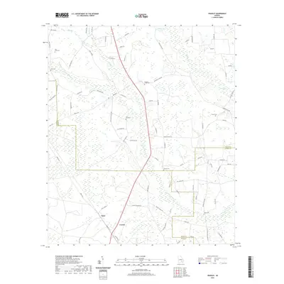
2020 Map of Crawley
USGS Topo · Published 2020About this map
Low-lying marshlands and subtle drainage patterns define the landscape of south Georgia at the meeting point of Ware, Bacon, and Pierce Counties. Bolen and Crawley serve as the primary markers of settlement in this rural expanse, where local life is historically centered around a network of small family and community burial grounds. Genealogists will find a high density of these sites, including Pine Grove Cem, Beulah Cem, and Elisabeth Chapel Cem.
Find a feature on this map
81 named features on this map. Tap any name to fly to it.
Don’t see what you’re looking for? This feature index may not catch every label — zoom into the map to look around manually.
Map Details
Editions of this 2020 Crawley Map
This is the sole edition of this map. No revisions or reprints were ever made.
Other maps of this area

1953 · Waycross
USGS Topo · 1:250,000

1958 · Waycross
USGS Topo · 1:250,000

1971 · Dixie Union
USGS Topo · 1:24,000

1971 · Coffee
USGS Topo · 1:24,000

1971 · Beach
USGS Topo · 1:24,000

1971 · Alma
USGS Topo · 1:24,000

1971 · Sessoms
USGS Topo · 1:24,000

1971 · Talmo
USGS Topo · 1:24,000

1971 · Blackshear West
USGS Topo · 1:24,000

1971 · Mershon
USGS Topo · 1:24,000