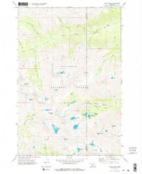
1972 Map of Crazy Peak
USGS Topo · Published 1976About this map
Gallatin National Forest encompasses this alpine environment where the headwaters of the Sweet Grass and Big Timber creek systems originate. High-altitude glacial features define the terrain, most notably the Grasshopper Glacier and a series of remote basins containing Pear Lake, Druckmiller Lake, and Crazy Lake. The map reveals a landscape defined by significant verticality, dominated by the massif of Crazy Peak and nearby Big Timber Peak.
Find a feature on this map
45 named features on this map. Tap any name to fly to it.
Don’t see what you’re looking for? This feature index may not catch every label — zoom into the map to look around manually.
Map Details
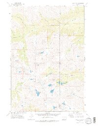
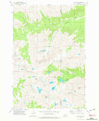
Editions of this 1972 Crazy Peak Map
3 editions found
Other maps of this area

1886 · Little Belt Mts.
USGS Topo · 1:250,000

1891 · Livingston
USGS Topo · 1:250,000

1893 · Livingston
USGS Topo · 1:250,000

1894 · Little Belt Mts.
USGS Topo · 1:250,000

1897 · Little Belt Mts.
USGS Topo · 1:250,000

1898 · Little Belt Mts.
USGS Topo · 1:250,000

1902 · Little Belt Mts.
USGS Topo · 1:250,000

1947 · Bozeman
USGS Topo · 1:250,000

1948 · Bozeman
USGS Topo · 1:250,000

1948 · White Sulphur Springs
USGS Topo · 1:250,000