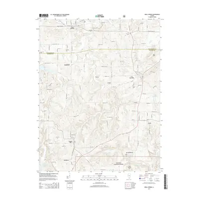
2015 Map of Creal Springs
USGS Topo · Published 2015About this map
Creal Springs and the surrounding woodlands of the Shawnee National Forest define this 2015 landscape where Williamson Co meets Johnson Co. The area is characterized by a dense concentration of small family and community burial grounds, including the Salem, Newbold, and Simmons cemeteries, which offer valuable data points for local genealogists. The terrain is marked by numerous watercourses such as Sugar Creek and Brushy Creek, which drain toward notable features like the Wonders Arch and the northern reaches of Cedar Lake.
Find a feature on this map
81 named features on this map. Tap any name to fly to it.
Don’t see what you’re looking for? This feature index may not catch every label — zoom into the map to look around manually.
Map Details
Editions of this 2015 Creal Springs Map
This is the sole edition of this map. No revisions or reprints were ever made.
Other maps of this area
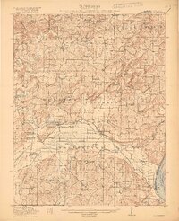
1917 · Brownfield
USGS Topo · 1:62,500

1918 · Vienna
USGS Topo · 1:62,500

1919 · Vienna
USGS Topo · 1:62,500
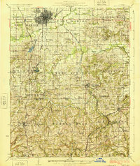
1925 · Marion
USGS Topo · 1:62,500
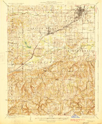
1925 · Harrisburg
USGS Topo · 1:62,500
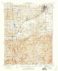
1939 · Harrisburg
USGS Topo · 1:62,500
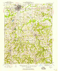
1940 · Marion
USGS Topo · 1:62,500
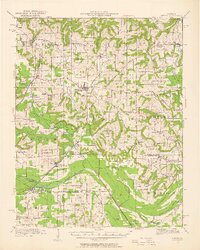
1942 · Vienna
USGS Topo · 1:62,500

1949 · Paducah
USGS Topo · 1:250,000

1950 · Paducah
USGS Topo · 1:250,000