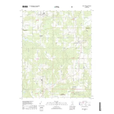
2018 Map of Creal Springs
USGS Topo · Published 2018About this map
Creal Springs and the southern edge of Marion anchor this landscape where the Williamson and Johnson county line divides the terrain. The map traces the varied topography of southern Illinois, moving from the developed streets of New Burnside and Ozark into the protected lands of the Shawnee National Forest. This southern portion is particularly rich in natural landmarks and rural heritage, featuring the Cedar Wonders Arch and Wise Ridge. Numerous small family and community burial grounds, such as Rich Cem, Drake Cem, and Catholic Cem, are scattered across the quadrangle, offering a detailed record of local genealogy and early settlement patterns. Waterways like Sugar Creek and Little Saline River carve through the hills, while the Little Cache Number 1 Reservoir and Lake of Egypt provide significant water features for the region.
Find a feature on this map
112 named features on this map. Tap any name to fly to it.
Don’t see what you’re looking for? This feature index may not catch every label — zoom into the map to look around manually.
Map Details
Editions of this 2018 Creal Springs Map
This is the sole edition of this map. No revisions or reprints were ever made.
Other maps of this area

1917 · Brownfield
USGS Topo · 1:62,500

1918 · Vienna
USGS Topo · 1:62,500

1919 · Vienna
USGS Topo · 1:62,500

1925 · Marion
USGS Topo · 1:62,500

1925 · Harrisburg
USGS Topo · 1:62,500

1939 · Harrisburg
USGS Topo · 1:62,500

1940 · Marion
USGS Topo · 1:62,500

1942 · Vienna
USGS Topo · 1:62,500

1949 · Paducah
USGS Topo · 1:250,000

1950 · Paducah
USGS Topo · 1:250,000