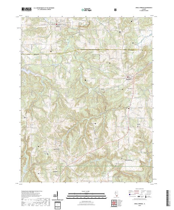
2024 Map of Creal Springs
USGS Topo · Published 2024About this map
Creal Springs and New Burnside anchor this landscape along the border of Williamson and Johnson counties. The area is defined by a dense network of country roads and timbered drainages, including the South Fork Saline River and Sugar Creek. To the south, the terrain transitions into the protected lands of the Shawnee National Forest, where natural landmarks like Cedar Wonders Arch sit among the deep hollows. This recent survey records a territory heavily marked by its pioneer-era history, evidenced by the high concentration of family and community burial grounds such as Salem Cem, Newbold Cem, and Reynoldsburg Cem. Smaller settlements like Tunnel Hill, Ozark, and Reynoldsburg provide localized focal points in a region where the traditional rural structure of the Southern Illinois hills remains remarkably intact through the early twenty-first century.
Find a feature on this map
115 named features on this map. Tap any name to fly to it.
Don’t see what you’re looking for? This feature index may not catch every label — zoom into the map to look around manually.
Map Details
Editions of this 2024 Creal Springs Map
This is the sole edition of this map. No revisions or reprints were ever made.
Other maps of this area

1917 · Brownfield
USGS Topo · 1:62,500

1918 · Vienna
USGS Topo · 1:62,500

1919 · Vienna
USGS Topo · 1:62,500

1925 · Marion
USGS Topo · 1:62,500

1925 · Harrisburg
USGS Topo · 1:62,500

1939 · Harrisburg
USGS Topo · 1:62,500

1940 · Marion
USGS Topo · 1:62,500

1942 · Vienna
USGS Topo · 1:62,500

1949 · Paducah
USGS Topo · 1:250,000

1950 · Paducah
USGS Topo · 1:250,000