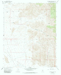
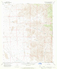
1967 Map of Creamery Canyon
USGS Topo · Published 1985About this map
The high slopes of the Hualapai Mts dominate the eastern landscape of this Mohave County quadrangle, where the terrain drops sharply toward the alluvial basins to the west. This arid expanse is defined by a network of drainage systems including Mackenzie Wash, Jack Wash, and Cottonwood Wash, which carve through the land before reaching the broad floor of Dutch Flat.
Find a feature on this map
17 named features on this map. Tap any name to fly to it.
Don’t see what you’re looking for? This feature index may not catch every label — zoom into the map to look around manually.
Map Details
Editions of this 1967 Creamery Canyon Map
2 editions found
Other maps of this area

1923 · Signal
USGS Topo · 1:250,000

1927 · Yucca
USGS Topo · 1:62,500

1927 · Buck Mountains
USGS Topo · 1:62,500

1929 · Buck Mountains
USGS Topo · 1:62,500

1929 · Yucca
USGS Topo · 1:62,500

1942 · Signal
USGS Topo · 1:250,000

1950 · Prescott
USGS Topo · 1:250,000

1954 · Needles
USGS Topo · 1:250,000

1954 · Prescott
USGS Topo · 1:250,000

1956 · Needles
USGS Topo · 1:250,000