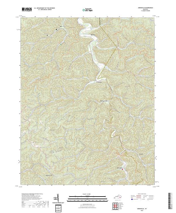
2022 Map of Creekville
USGS Topo · Published 2022About this map
Red Bird River snakes through the center of this eastern Kentucky landscape, anchoring a network of small valley settlements and family landmarks. The communities of Marcum, Spring Creek, and Roark are connected by winding roads that trace the floor of these steep hollows, while family lineages are marked on the high ground at Holland Cem, Hoskins Cem, and Arnetts Cem. Much of the terrain is defined by its ridge-and-hollow pattern, where high points like Hoskins Knob and Caney Knob overlook the narrow drainages of Big Double Cr and Elisha Cr. This 2022 survey illustrates the contemporary trail systems used to navigate this pocket of Clay County, such as the extensive Redbird Crest Trl and the Gilbert Ck / Elisha Ck Loop Trl. From the southern outpost at Ashers Fork to the border near Queendale, the map provides a precise look at the enduring geographic boundaries of the region.
Find a feature on this map
87 named features on this map. Tap any name to fly to it.
Don’t see what you’re looking for? This feature index may not catch every label — zoom into the map to look around manually.
Map Details
Editions of this 2022 Creekville Map
This is the sole edition of this map. No revisions or reprints were ever made.
Other maps of this area

1886 · Cumberland Gap
USGS Topo · 1:125,000

1887 · Jonesville
USGS Topo · 1:125,000

1888 · Cumberland Gap
USGS Topo · 1:125,000

1891 · Manchester
USGS Topo · 1:125,000

1891 · Cumberland Gap
USGS Topo · 1:125,000

1891 · Hazard
USGS Topo · 1:125,000

1891 · Jonesville
USGS Topo · 1:125,000

1903 · Harlan
USGS Topo · 1:48,000

1903 · Pineville
USGS Topo · 1:48,000

1916 · Harlan
USGS Topo · 1:48,000