
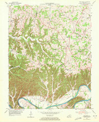
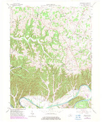
1953 Map of Creelsboro
USGS Topo · Published 1955About this map
The Cumberland River carves a deep path through southern Kentucky, creating the distinctive Long Bottom and Swan Pond Bottom lands that sustained the settlement at Creelsboro. This mid-century survey illustrates a landscape of high ridges and narrow creek valleys, where life centered around the numerous country schools and churches that served these upland communities. Notable institutions like the Highway Mission, Grider Chapel, and Cherry Grove Sch appear alongside family-named landmarks such as Melson Ridge and Simpson Ridge. The map documents the intricate boundary lines where Russell, Adair, Clinton, and Cumberland counties meet, highlighting a network of rural routes like KY 92 and local centers such as Old Olga and Cundiff. Genealogists will find particular value in the scattered cemeteries and community hubs like Beech Grove Sch that define the social geography of the era.
Find a feature on this map
63 named features on this map. Tap any name to fly to it.
Don’t see what you’re looking for? This feature index may not catch every label — zoom into the map to look around manually.
Map Details
Editions of this 1953 Creelsboro Map
Other maps of this area

1953 · Amandaville
USGS Topo · 1:24,000

1953 · Montpelier
USGS Topo · 1:24,000

1953 · Burkesville
USGS Topo · 1:24,000

1953 · Wolf Creek Dam
USGS Topo · 1:24,000

1953 · Jamestown
USGS Topo · 1:24,000

1954 · Cumberland City
USGS Topo · 1:24,000

1954 · Columbia
USGS Topo · 1:24,000

1954 · Russell Springs
USGS Topo · 1:24,000

1956 · Corbin
USGS Topo · 1:250,000

1957 · Winchester
USGS Topo · 1:250,000