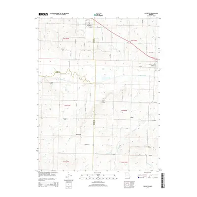
2014 Map of Creighton
USGS Topo · Published 2014About this map
The South Grand River meanders across this rural landscape where the boundaries of Henry, Cass, and Bates counties meet. The area is defined by its small agricultural settlements and a network of named water bodies, including Greasy Cr, Knob Cr, and White Oak Cr, which drain the undulating terrain surrounding Turkey Knob. For those tracing local history or genealogy, the map identifies several scattered pioneer burial grounds such as Parker-Gregg Cemetery, Kepner Cemetery, and Fewel Cemetery.
Find a feature on this map
49 named features on this map. Tap any name to fly to it.
Don’t see what you’re looking for? This feature index may not catch every label — zoom into the map to look around manually.
Map Details
Editions of this 2014 Creighton Map
This is the sole edition of this map. No revisions or reprints were ever made.
Other maps of this area

1885 · Warrensburg
USGS Topo · 1:125,000

1887 · Clinton
USGS Topo · 1:125,000

1887 · Harrisonville
USGS Topo · 1:125,000

1887 · Butler
USGS Topo · 1:125,000

1887 · Warrensburg
USGS Topo · 1:125,000

1892 · Harrisonville
USGS Topo · 1:125,000

1894 · Harrisonville
USGS Topo · 1:125,000

1894 · Butler
USGS Topo · 1:125,000

1894 · Warrensburg
USGS Topo · 1:125,000

1894 · Clinton
USGS Topo · 1:125,000