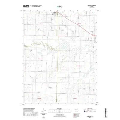
2017 Map of Creighton
USGS Topo · Published 2017About this map
Creighton and Urich anchor this survey of the Missouri borderlands where Cass, Henry, and Bates Counties converge. The landscape is defined by the winding course of the South Grand River, which creates a complex network of wetlands and oxbows, including Little Lake and Sprig Lake. This section of the western prairie shows a mature rural grid system, with small settlements like Mayesburg and Lucas connected by a dense web of county roads.
Find a feature on this map
86 named features on this map. Tap any name to fly to it.
Don’t see what you’re looking for? This feature index may not catch every label — zoom into the map to look around manually.
Map Details
Editions of this 2017 Creighton Map
This is the sole edition of this map. No revisions or reprints were ever made.
Other maps of this area

1885 · Warrensburg
USGS Topo · 1:125,000

1887 · Clinton
USGS Topo · 1:125,000

1887 · Harrisonville
USGS Topo · 1:125,000

1887 · Butler
USGS Topo · 1:125,000

1887 · Warrensburg
USGS Topo · 1:125,000

1892 · Harrisonville
USGS Topo · 1:125,000

1894 · Harrisonville
USGS Topo · 1:125,000

1894 · Butler
USGS Topo · 1:125,000

1894 · Warrensburg
USGS Topo · 1:125,000

1894 · Clinton
USGS Topo · 1:125,000