
1955 Map of Creighton
USGS Topo · Published 1956About this map
The remote ranching landscape of Rainy Creek and the Cheyenne River breaks is documented here during the mid-1950s. The area is defined by a network of isolated homesteads and essential rural institutions, including the small settlement of Creighton and its nearby Creighton Cem. The map reveals a community organized around a series of township schools, such as Hammann Sch, North Creighton Sch, and South Creighton Sch, illustrating the historical density of school districts in Pennington County before later consolidations.
Find a feature on this map
20 named features on this map. Tap any name to fly to it.
Don’t see what you’re looking for? This feature index may not catch every label — zoom into the map to look around manually.
Map Details
Editions of this 1955 Creighton Map
This is the sole edition of this map. No revisions or reprints were ever made.
Other maps of this area

1953 · Rapid City
USGS Topo · 1:250,000

1954 · Dalzell SE
USGS Topo · 1:24,000

1954 · Wasta NE
USGS Topo · 1:24,000

1954 · Dalzell NE
USGS Topo · 1:24,000

1955 · Pedro
USGS Topo · 1:24,000

1955 · Pedro NW
USGS Topo · 1:24,000

1955 · Pedro SE
USGS Topo · 1:24,000

1957 · Rapid City
USGS Topo · 1:250,000
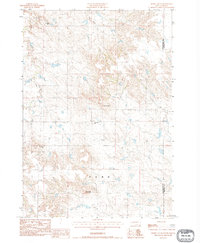
1983 · Horse Tooth
USGS Topo · 1:24,000
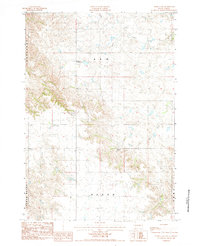
1984 · Pedro 4 NW
USGS Topo · 1:24,000