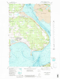
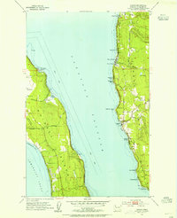
1977 Map of Crescent Harbor
USGS Topo · Published 1981About this map
The settlement of Anderson sits at the edge of this coastal landscape, situated along the interior heights above the northern Puget Sound shoreline. This 1977 topo-bathymetric study reveals the complex relationship between the terrestrial topography and the submerged contours of the sound, illustrating how the island's elevation transitions into the shallow depths of the surrounding waters. Unlike standard topographic sheets, this edition includes detailed underwater bathymetry, providing a rare look at the sea floor during the late 1970s. The spatial arrangement of the local road network and land divisions shows a community closely tied to its maritime environment, with development clustering near the protected inlets and bays that characterize this part of Washington.
Find a feature on this map
1 named feature on this map. Tap any name to fly to it.
Don’t see what you’re looking for? This feature index may not catch every label — zoom into the map to look around manually.
Map Details
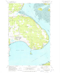
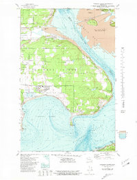
Editions of this 1977 Crescent Harbor Map
3 editions found
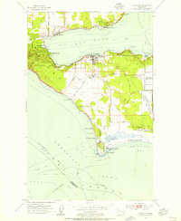
Other maps of this area

1911 · Mount Vernon
USGS Topo · 1:125,000

1939 · Coupeville
USGS Topo · 1:62,500

1940 · Mt Vernon
USGS Topo · 1:62,500

1943 · Mt Vernon
USGS Topo · 1:62,500

1943 · Stanwood
USGS Topo · 1:62,500

1943 · Deception Pass
USGS Topo · 1:62,500

1951 · Deception Pass
USGS Topo · 1:62,500
1953 · Coupeville
USGS Topo · 1:24,000
1953 · Camano
USGS Topo · 1:24,000
1956 · Utsalady
USGS Topo · 1:24,000