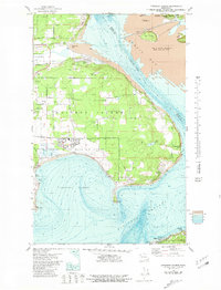
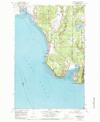
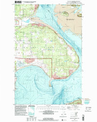
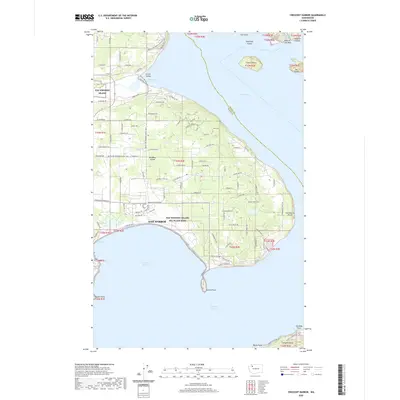
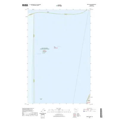
1977 Map of Crescent Harbor
USGS Topo · Published 1981About this map
Whidbey Island dominates this mid-1970s topographical and bathymetric study, where the northern coastal landscape meets the shifting waters of Skagit Bay and the Saratoga Passage. The sprawling Whidbey Island Naval Air Station occupies much of the central terrain, bordered by its distinctive Naval Reservation Bdy. Coastal features such as Strawberry Point and Polnell Point define the island's jagged eastern edge, while the waters of Crescent Harbor reveal detailed soundings that emphasize the maritime character of this Pacific Northwest environment.
Find a feature on this map
58 named features on this map. Tap any name to fly to it.
Don’t see what you’re looking for? This feature index may not catch every label — zoom into the map to look around manually.
Map Details
Editions of this 1977 Crescent Harbor Map
3 editions found
Historical Maps of Oak Harbor Through Time
29 maps found

1943 Deception Pass
Island County, WA
1951 Deception Pass
Island County, WA
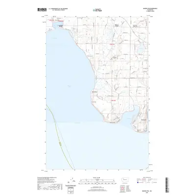
1953 Maxwelton
Island County, WA
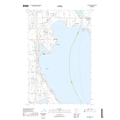
1956 Juniper Beach
Island County, WA
1977 Crescent Harbor
Island County, WA
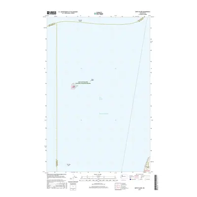
1978 Smith Island
Island County, WA
1997 Maxwelton
Island County, WA
1998 Crescent Harbor
Island County, WA
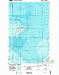
1998 Smith Island
Island County, WA
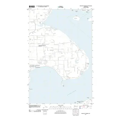
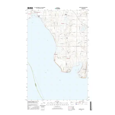
2011 Crescent Harbor
Island County, WA
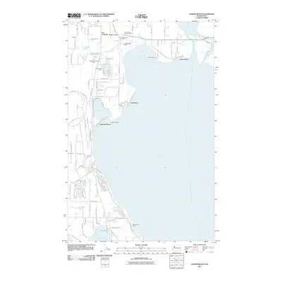
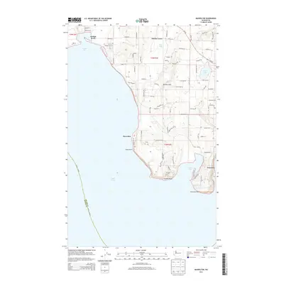
2011 Juniper Beach
Island County, WA
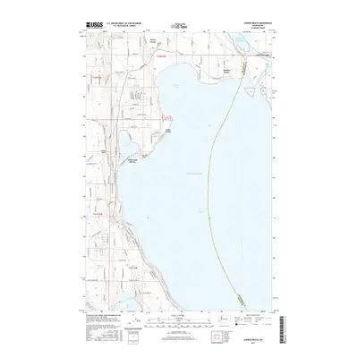
2011 Maxwelton
Island County, WA
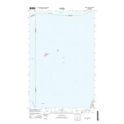
2011 Smith Island
Island County, WA
2014 Crescent Harbor
Island County, WA
2014 Juniper Beach
Island County, WA
2014 Maxwelton
Island County, WA
2014 Smith Island
Island County, WA

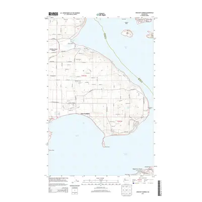
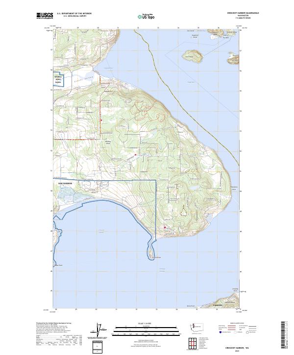
2017 Crescent Harbor
Island County, WA
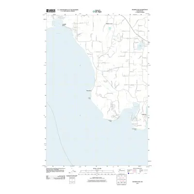
2017 Juniper Beach
Island County, WA
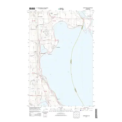
2017 Maxwelton
Island County, WA
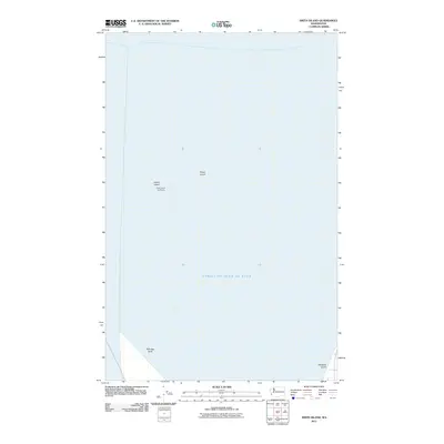
2017 Smith Island
Island County, WA
2020 Crescent Harbor
Island County, WA
2020 Juniper Beach
Island County, WA
2020 Maxwelton
Island County, WA
2020 Smith Island
Island County, WA
2023 Crescent Harbor
Island County, WA

2023 Juniper Beach
Island County, WA
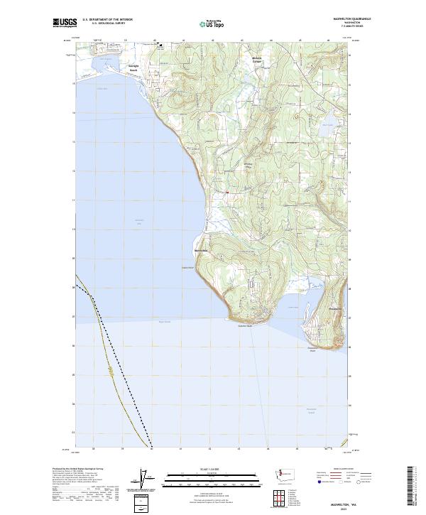
2023 Maxwelton
Island County, WA
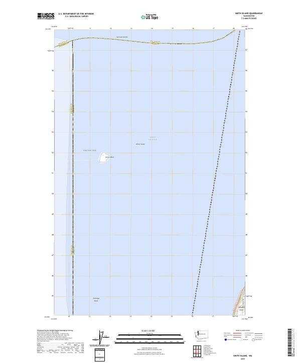
2023 Smith Island
Island County, WA