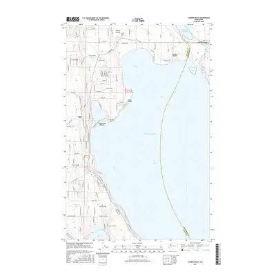
2017 Map of Juniper Beach
USGS Topo · Published 2017About this map
Camano Island dominates this coastal survey, separated from the mainland at Stanwood by the narrow channels of Davis Slough and West Pass. The geography is defined by the intricate shoreline of Puget Sound, featuring sheltered waters like Livingston Bay and Triangle Cove. Small residential clusters and recreational areas dot the island's eastern edge, including Driftwood Shores, Lona Beach, and the community of Terrys Corner near the Camano Pioneer Cem. Inland, the landscape is punctuated by numerous small bodies of water such as Kristoferson Lake, Cranberry Lake, and Smith Lake. The map reveals a transition from the structured town grid of Stanwood to the winding rural routes of the island, like E Mountain View Rd and S Mabana Rd, illustrating how the island's topography dictates its development pattern.
Find a feature on this map
49 named features on this map. Tap any name to fly to it.
Don’t see what you’re looking for? This feature index may not catch every label — zoom into the map to look around manually.
Map Details
Editions of this 2017 Juniper Beach Map
This is the sole edition of this map. No revisions or reprints were ever made.
Other maps of this area

1911 · Mount Vernon
USGS Topo · 1:125,000

1939 · Coupeville
USGS Topo · 1:62,500

1940 · Mt Vernon
USGS Topo · 1:62,500

1943 · Mt Vernon
USGS Topo · 1:62,500

1943 · Stanwood
USGS Topo · 1:62,500

1943 · Deception Pass
USGS Topo · 1:62,500

1951 · Deception Pass
USGS Topo · 1:62,500

1953 · Freeland
USGS Topo · 1:24,000

1953 · Camano
USGS Topo · 1:24,000

1956 · Tulalip
USGS Topo · 1:24,000