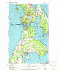
1951 Map of Deception Pass
USGS Topo · Published 1972About this map
Anacortes and Oak Harbor anchor this mid-century portrait of Whidbey and Fidalgo Islands, a landscape defined by saltwater passages and emerging military infrastructure. The presence of Ault Field and the surrounding Naval Reservation signals the era's strategic maritime importance, while older patterns of life remain visible at Snee-oosh Beach within the Swinomish Indian Reservation. Natural landmarks like Mt Erie and the dramatic narrows of Deception Pass separate these bustling hubs.
Find a feature on this map
117 named features on this map. Tap any name to fly to it.
Don’t see what you’re looking for? This feature index may not catch every label — zoom into the map to look around manually.
Map Details
Editions of this 1951 Deception Pass Map
3 editions found

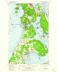
Other maps of this area

1911 · Mount Vernon
USGS Topo · 1:125,000

1918 · Samish Lake
USGS Topo · 1:62,500

1939 · Port Townsend
USGS Topo · 1:62,500

1939 · Coupeville
USGS Topo · 1:62,500

1940 · Mt Vernon
USGS Topo · 1:62,500

1943 · Mt Vernon
USGS Topo · 1:62,500

1943 · Stanwood
USGS Topo · 1:62,500

1943 · Richardson
USGS Topo · 1:62,500

1943 · Orcas Island
USGS Topo · 1:62,500

1943 · Deception Pass
USGS Topo · 1:62,500