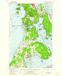
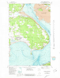
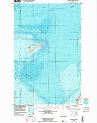
1951 Map of Deception Pass
USGS Topo · Published 1960About this map
Anacortes and Oak Harbor anchor this coastal survey, which highlights the complex geography of Whidbey and Fidalgo Islands in the mid-20th century. The landscape is defined by the narrow passage at Deception Pass, where Deception Pass State Park spans the bridge between Skagit and Island Counties. To the east, the Swinomish Indian Reservation occupies the peninsula near La Conner, bounded by the Swinomish Channel.
Find a feature on this map
101 named features on this map. Tap any name to fly to it.
Don’t see what you’re looking for? This feature index may not catch every label — zoom into the map to look around manually.
Map Details
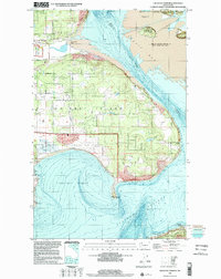
Editions of this 1951 Deception Pass Map
3 editions found

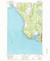
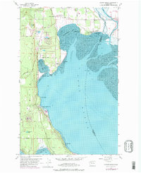
Historical Maps of Oak Harbor Through Time
29 maps found

1943 Deception Pass
Island County, WA
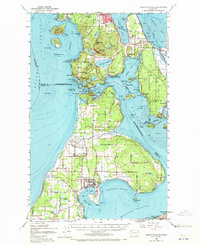
1951 Deception Pass
Island County, WA
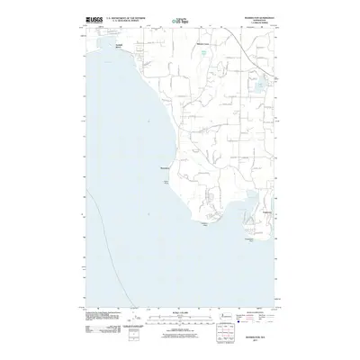
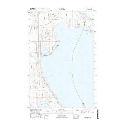
1953 Maxwelton
Island County, WA
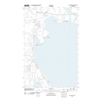
1956 Juniper Beach
Island County, WA
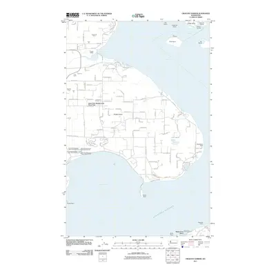
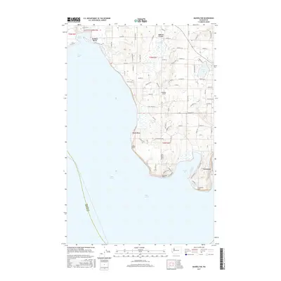
1977 Crescent Harbor
Island County, WA
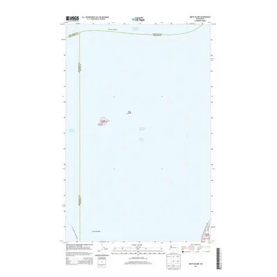
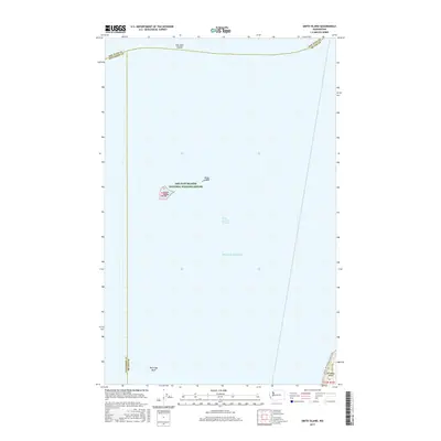
1978 Smith Island
Island County, WA
1997 Maxwelton
Island County, WA
1998 Crescent Harbor
Island County, WA
1998 Smith Island
Island County, WA
2011 Crescent Harbor
Island County, WA
2011 Juniper Beach
Island County, WA
2011 Maxwelton
Island County, WA
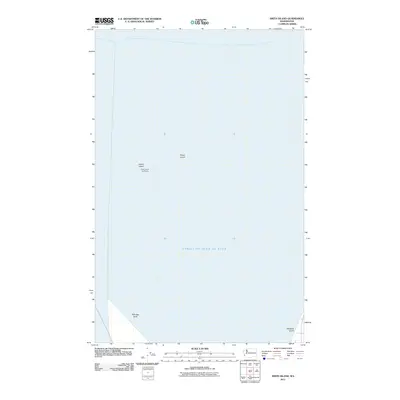
2011 Smith Island
Island County, WA
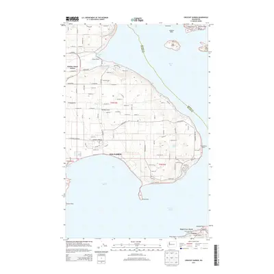
2014 Crescent Harbor
Island County, WA
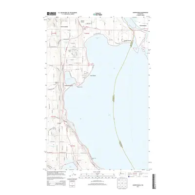
2014 Juniper Beach
Island County, WA
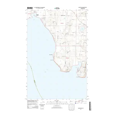
2014 Maxwelton
Island County, WA
2014 Smith Island
Island County, WA

2017 Crescent Harbor
Island County, WA
2017 Juniper Beach
Island County, WA
2017 Maxwelton
Island County, WA
2017 Smith Island
Island County, WA
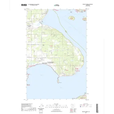
2020 Crescent Harbor
Island County, WA
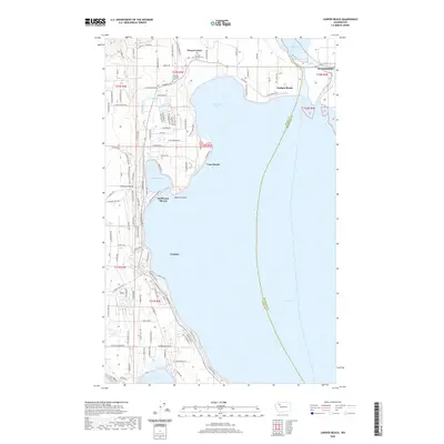
2020 Juniper Beach
Island County, WA
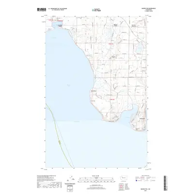
2020 Maxwelton
Island County, WA
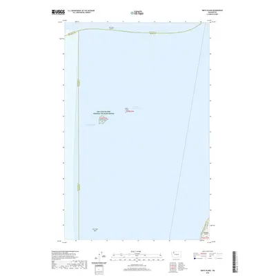
2020 Smith Island
Island County, WA
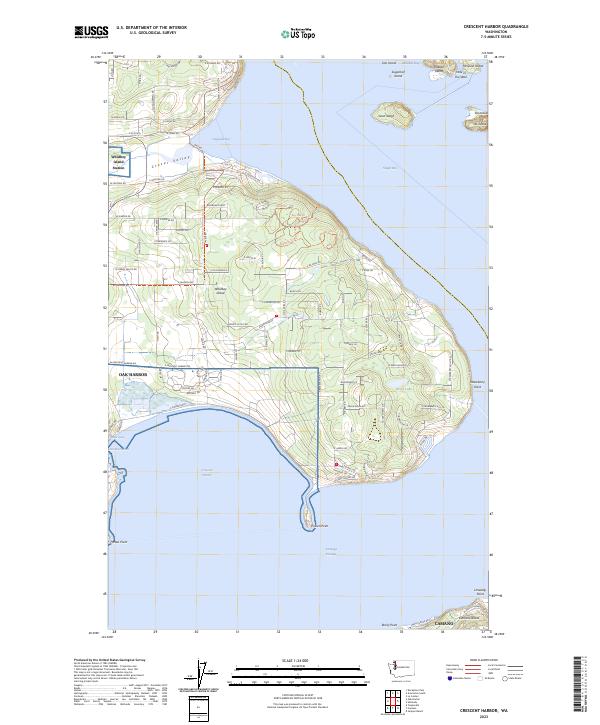
2023 Crescent Harbor
Island County, WA

2023 Juniper Beach
Island County, WA
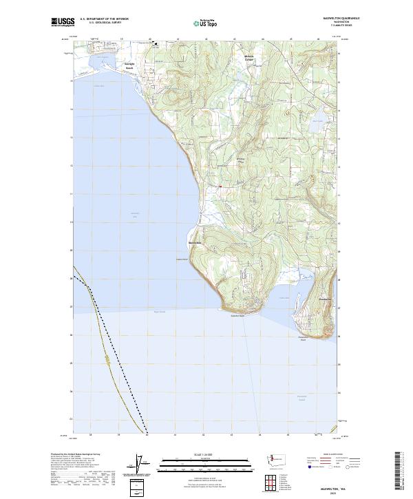
2023 Maxwelton
Island County, WA
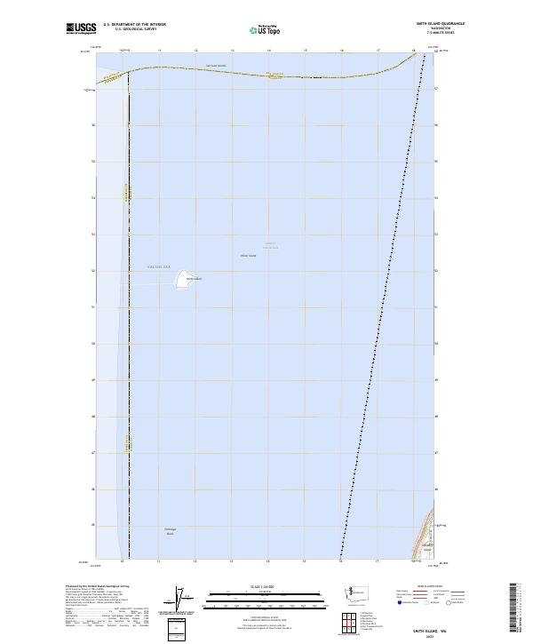
2023 Smith Island
Island County, WA