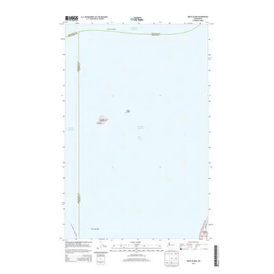
2014 Map of Smith Island
USGS Topo · Published 2014About this map
Smith Island and its smaller neighbor Minor Island sit as isolated landforms at the meeting point of the Puget Sound and the Strait of Juan de Fuca. This maritime landscape is defined by the shifting bathymetry of Partridge Bank and the strategic location of the Smith Island Lighthouse, a critical navigational landmark for vessels transitioning between the sound and the open strait.
Find a feature on this map
19 named features on this map. Tap any name to fly to it.
Don’t see what you’re looking for? This feature index may not catch every label — zoom into the map to look around manually.
Map Details
Editions of this 2014 Smith Island Map
This is the sole edition of this map. No revisions or reprints were ever made.
Other maps of this area

1939 · Port Townsend
USGS Topo · 1:62,500

1939 · Coupeville
USGS Topo · 1:62,500

1943 · Richardson
USGS Topo · 1:62,500

1943 · Deception Pass
USGS Topo · 1:62,500

1951 · Deception Pass
USGS Topo · 1:62,500

1953 · Coupeville
USGS Topo · 1:24,000

1953 · Port Townsend North
USGS Topo · 1:24,000

1957 · Richardson
USGS Topo · 1:62,500

1957 · Victoria
USGS Topo · 1:250,000
1973 · Lopez Pass
USGS Topo · 1:24,000