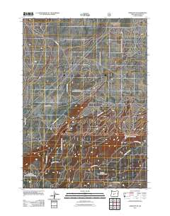
2011 Map of Crescent NE
USGS Topo · Published 2011About this map
Forest management and timber access define this landscape in the northern reaches of Klamath County. The terrain is indexed by an extensive network of United States Forest Service transit routes, including Nfd 9775 Rd and Nat For Dev Rd 9780, which branch across the high-elevation topography. These National Forest Development roads, such as Nat For Dev Rd 9772 and Nat For Dev Rd 9410, illustrate the mid-20th-century approach to land development and resource extraction in the Oregon Cascades. The survey shows a landscape largely devoid of permanent residential settlements, instead focusing on the infrastructure required to navigate and maintain these public lands. Map collectors and researchers can use this 2011 record to trace the exact alignment of access ways like Nat For Dev Rd 9407 and Nat For Dev Rd 400 as they existed before subsequent seasonal changes or forest service updates.
Find a feature on this map
9 named features on this map. Tap any name to fly to it.
Don’t see what you’re looking for? This feature index may not catch every label — zoom into the map to look around manually.
Map Details
Editions of this 2011 Crescent NE Map
This is the sole edition of this map. No revisions or reprints were ever made.
Other maps of this area

1930 · Maiden Peak
USGS Topo · 1:125,000

1931 · Newberry Crater
USGS Topo · 1:125,000

1934 · Maiden Peak
USGS Topo · 1:125,000

1935 · Chemult
USGS Topo · 1:96,000

1935 · Newberry Crater
USGS Topo · 1:125,000

1941 · Chemult
USGS Topo · 1:125,000

1955 · Crescent
USGS Topo · 1:250,000

1957 · Crescent
USGS Topo · 1:250,000

1958 · Crescent
USGS Topo · 1:250,000

1963 · Masten Butte
USGS Topo · 1:24,000