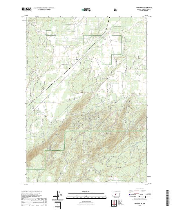
2023 Map of Crescent NE
USGS Topo · Published 2023About this map
Walker Rim dominates the southern half of this landscape, its sharp escarpment defining the transition between the high plateaus of the Klamath Basin. This 2023 survey delineates the meeting point of two major federal lands, where the northern boundary of the Winema National Forest abuts the Deschutes National Forest. The geography here is defined by significant elevation changes, with the rim itself serving as a natural barrier that influenced early transit and forestry access. The map reveals an intricate network of forest roads and land divisions within t24s r9e and t25s r10e, illustrating the contemporary management of these timberlands. The lack of concentrated settlements underscores the area's role as a protected wilderness and resource zone rather than a residential hub.
Find a feature on this map
7 named features on this map. Tap any name to fly to it.
Don’t see what you’re looking for? This feature index may not catch every label — zoom into the map to look around manually.
Map Details
Editions of this 2023 Crescent NE Map
This is the sole edition of this map. No revisions or reprints were ever made.
Other maps of this area

1930 · Maiden Peak
USGS Topo · 1:125,000

1931 · Newberry Crater
USGS Topo · 1:125,000

1934 · Maiden Peak
USGS Topo · 1:125,000

1935 · Chemult
USGS Topo · 1:96,000

1935 · Newberry Crater
USGS Topo · 1:125,000

1941 · Chemult
USGS Topo · 1:125,000

1955 · Crescent
USGS Topo · 1:250,000

1957 · Crescent
USGS Topo · 1:250,000

1958 · Crescent
USGS Topo · 1:250,000

1963 · Masten Butte
USGS Topo · 1:24,000